A Cartographic Treasure.Taylor & Skinner’s 1778 Map of Ireland
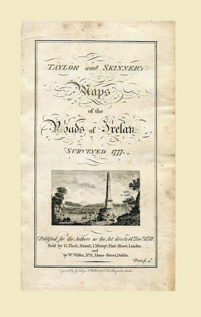
This article delves into a rare and valuable resource for Irish history and cartography enthusiasts: a road map of Ireland crafted by George Taylor and Andrew Skinner in 1778. This exquisite piece of cartography offers a fascinating window into 18th-century Ireland’s transportation infrastructure and settlements.
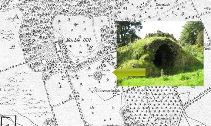
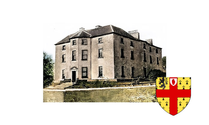
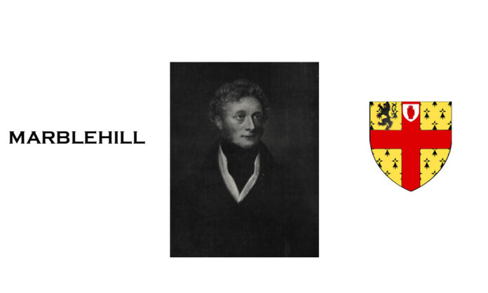
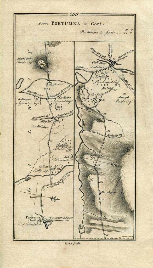
The map charts the route from Loughrea, County Galway, to Bruff in County Limerick. Tracing the path reveals numerous towns and landmarks along the way, including Nenagh, Limerick, Killaloe, and Tipperary. Excitingly for those familiar with the region, the map clearly marks Marblehill, pinpointing the location of the grand Georgian estate, Marble Hill House, which endures today as a testament to Ireland’s architectural heritage.
A Map Rich in Detail
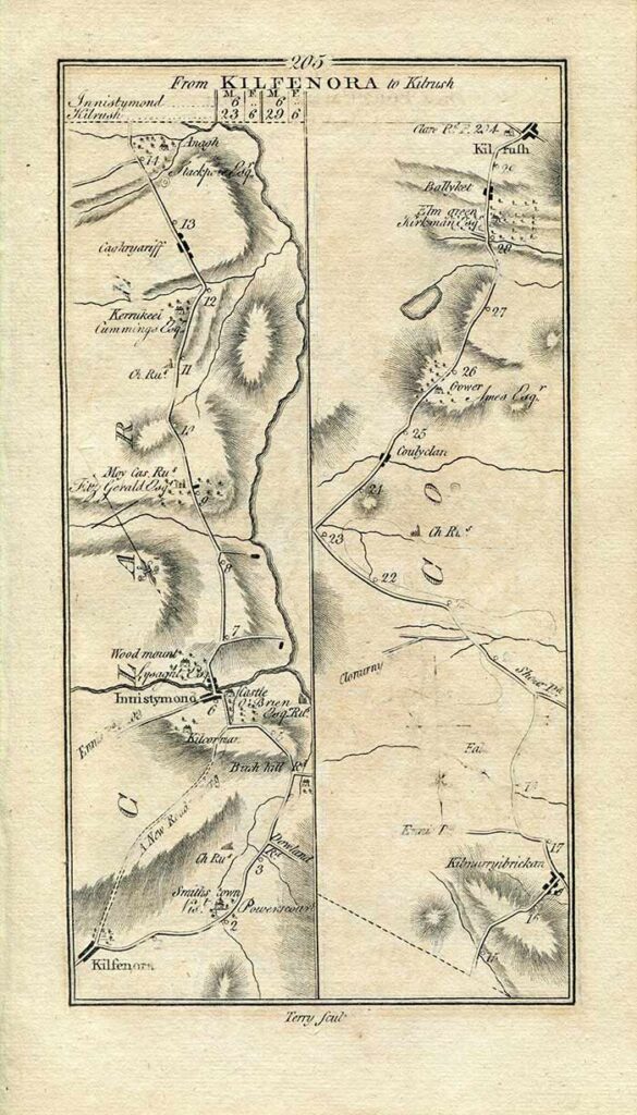
Beyond its function as a route planner, this map offers a wealth of historical detail. A meticulously detailed scale allows for accurate distance measurement, while a compass rose aids travellers in navigating the depicted landscape. The intricate network of roads and rivers reveals the transportation infrastructure of the 18th century, connecting towns and villages across the Irish countryside.
A Valuable Resource for Multiple Disciplines
Taylor and Skinner’s 1778 map of Ireland serves as a valuable resource for a variety of researchers:
- Historians: The map provides a snapshot of Ireland’s landscape and settlements in the 18th century, aiding in understanding the development of transportation routes and population centres.
- Genealogists: By pinpointing historical locations, the map can be a helpful tool for genealogists researching their Irish ancestry, and tracing the potential residences of their ancestors.
- Travel Enthusiasts: For those fascinated by historic travel routes, this map offers a glimpse into the journeys undertaken in 18th-century Ireland.
A Portal to the Past
In conclusion, this 1778 map by Taylor and Skinner transcends the realm of mere cartography. It acts as a portal to the past, offering insights into the roads travelled, the towns that thrived, and the estates that dotted the Irish landscape over two centuries ago. The next time you embark on a journey through Ireland, consider the historical routes that came before you, and the maps that guided explorers of the past.
Listed areas include Marblehill, Scarriff, Killaloe, Newport, Bruff, Galway, Tipperary, and Limerick.


